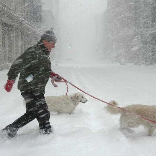
Season's First Snow: Winter Weather In Midwest Could Delay Harvest
Winter is on its way.
The first major snowfall of the year in the U.S. has manifested itself in an area near northeastern North Dakota and northwestern Minnesota, but the flurries could threaten harvests in the Midwest.
Farmers in the area, who recently suffered through the one of the worst droughts in years, are still harvesting corn and soybean crops, and agriculturalists are waiting to see what effect the weather could have on the plants.
There is a chance the farmers' crops will be fine. According to estimates from the U.S. Department of Agriculture, 54 percent of corn crop and 41 percent of soybean crop had already been harvested as of Monday.
John Dee, a meteorologist for Global Weather Monitoring, said he is optimistic about how the crops will fare amid the snow and cold weather.
"I can't say for sure there won't be any damage at all, there may be some late fields that are damaged, but the majority is mature and this isn't really an early frost anyway," Dee said. "Harvest weather is OK, but not perfect."
Residents in the northeast will likely have to wait a little longer for their first snowfall. Though temperatures are dropping, the first snow in New York City usually comes around Dec. 15, according to estimates from Weather.com. The earliest New York snowfall ever reported came in 1952, when white powder blanketed the city on Oct. 21.
CLICK HERE to check out an interactive map featuring data on the first snowfalls in cities across the country.
Weather.com used the following methodology to calculate the average dates of the first snow: "We've plotted National Weather Service 30-year average dates of the season's first measurable snow, the earliest-in-season snow on record, and average annual snowfall for dozens of cities on the interactive map above ... to see when, climatologically speaking, is the date by which you'll typically see the season's first measurable snow."