Tropical Storm Karen Path 2013, Storm Tracker: Poised to Hit U.S. [LIVE STREAM VIDEO COVERAGE]
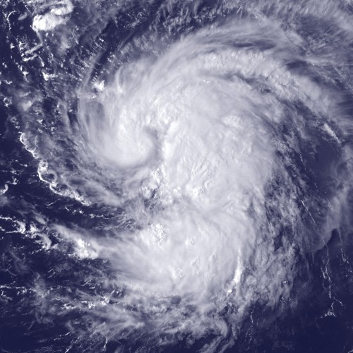
Tropical Storm Karen is poised to become the first named storm to his the U.S. during an otherwise quiet hurricane season.
A hurricane watch has been put into effect from Grand Isle, La. To west of Destin, Fla., while a tropical storm warning is in effect for the Louisiana coast from grand Isle to the mouth of the Pearl River, which includes the New Orleans area.
New Orleans was devastated when Hurricane Katrina, a category 5 storm, ravaged the area in 2005.
The storm is said to hit the northern Gulf Coast this weekend and is currently 275 miles south-southwest of the mouth of the Mississippi River. According to ABC News, it is moving in a northwestern direction at about 10 mph.
The storm's maximum sustained winds are still at 60 mph. Though the National Hurricane Center said little change in strength is expected Friday, there is still a chance that strengthening is possible when the storm's center hits the coast Saturday.
In Louisiana, officials are taking precautions while also noting that the storm may veer more towards the east after brushing the southeastern tip of the state. If that is the case it will veer towards the Alabama-Florida coast, before traveling across the southeastern states and Mid-eastern seaboard over the weekend and into early next week. The latest map from weather.com shows the storm having potential to hit parts of southern New Jersey early Tuesday morning at half the wind strength.
If Karen does follow that projected path, the storm will also be affecting areas ravaged by Hurricane Sandy around this same time last year.
You can watch a live stream of Karen's projected path here.